r/Maps • u/THEGUINEAPIGISBACK • 3h ago
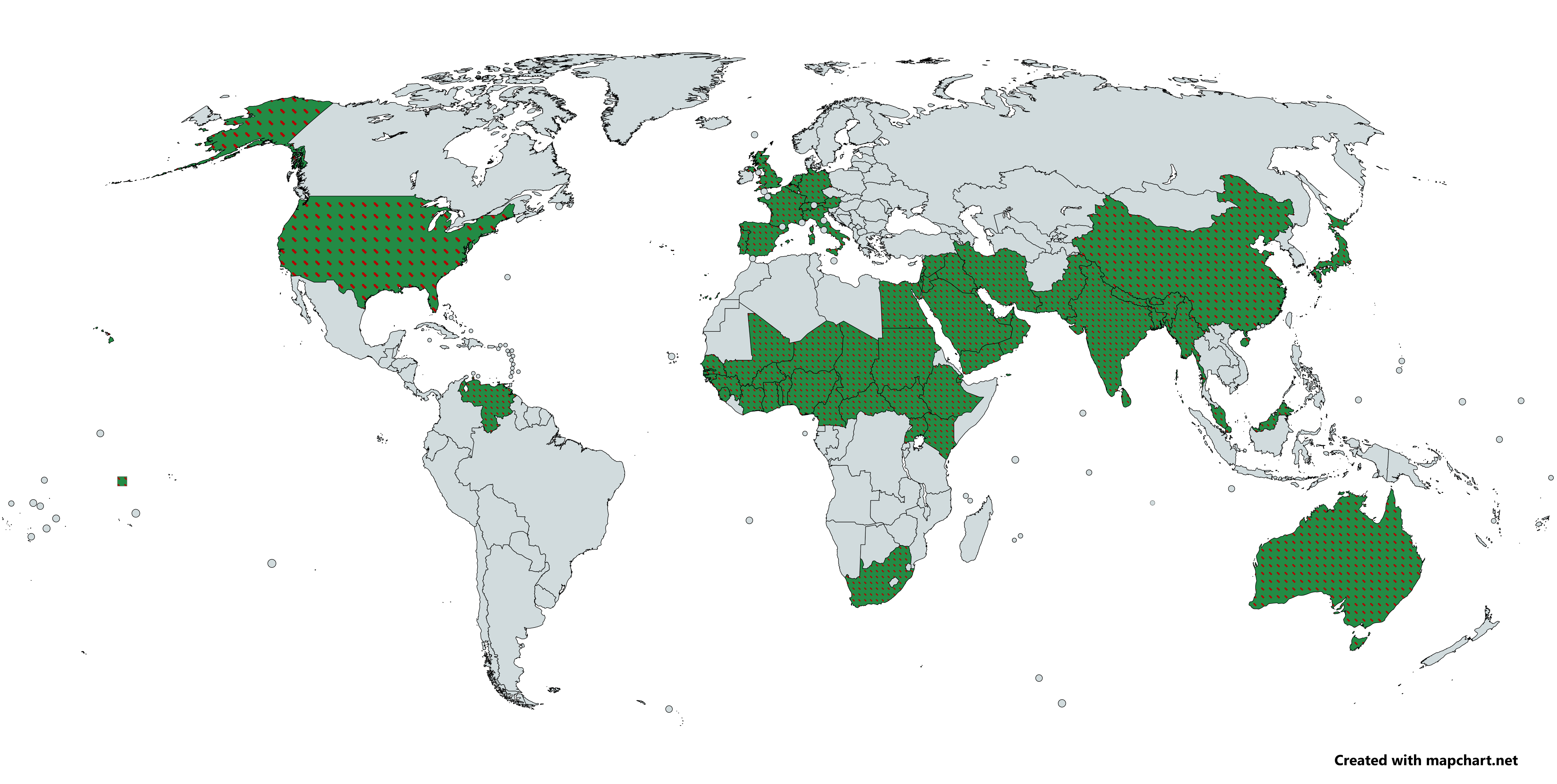
Data Map All countries where somewhere, feral/wild populations of ringneck parakeets inhabit
4
Upvotes
r/Maps • u/THEGUINEAPIGISBACK • 3h ago
r/Maps • u/Kyoflat_ • 22h ago
r/Maps • u/maven_mapping • 1d ago
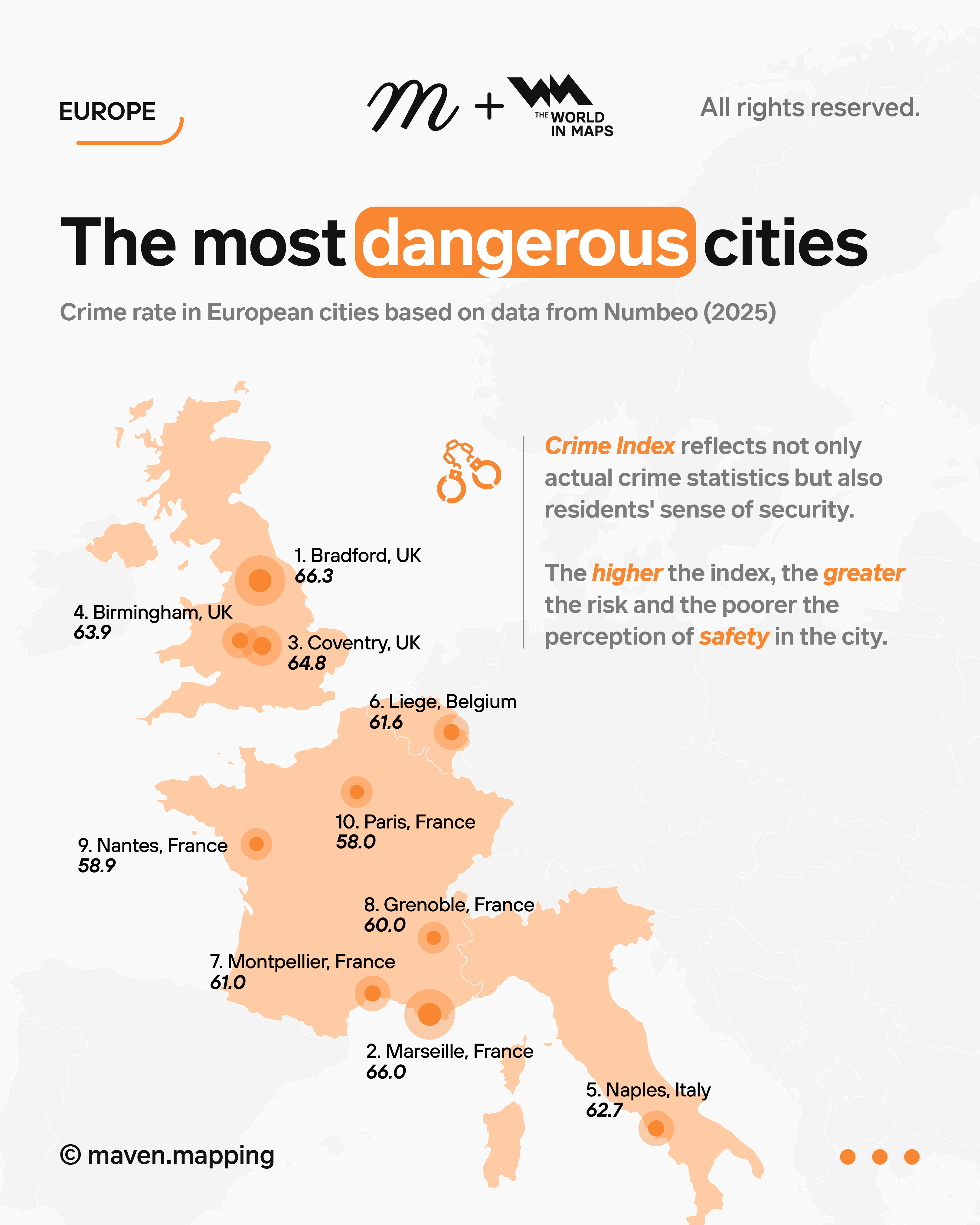
Europe has its own inglorious records in 2025 – according to Numbeo's Crime Index, Bradford in the UK has been named the most dangerous city, just ahead of Marseille and Coventry. Birmingham and Naples, where the mafia problem still shapes the daily lives of residents, also ranked high. French cities, from Montpellier and Grenoble to Nantes and Paris, also dominate the rankings, confirming reports of rising crime and social tensions. The rising index is not just about numbers; it primarily reflects Europeans' real concerns about their own safety.
⋯⋯⋯⋯⋯⋯⋯⋯⋯⋯⋯⋯
🔒 All published designs are u/maven_mapping intellectual property.
Copying and use without permission is prohibited and may result in legal action.
© 2025 Maven Mapping. All rights reserved.
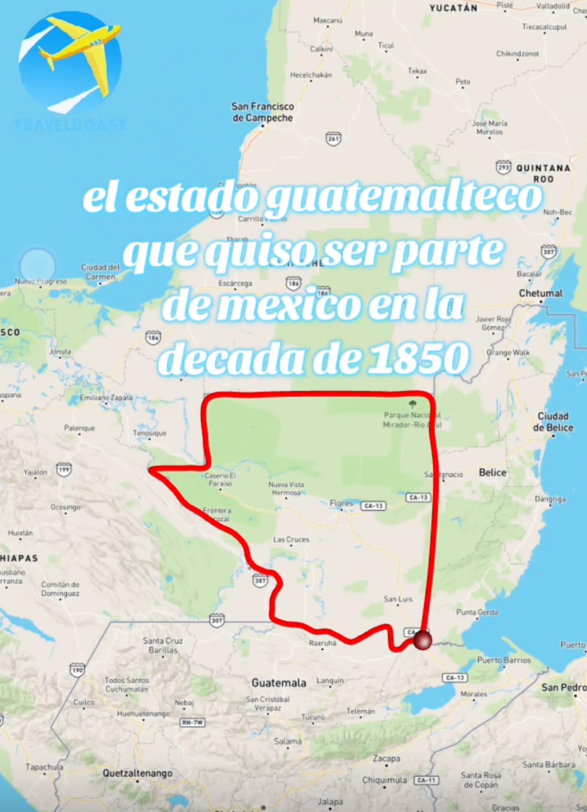
r/Maps • u/Professional_Bug7359 • 21h ago
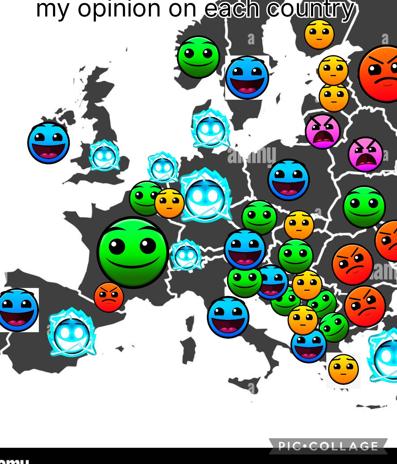
Someone please try and translate what 7 year old me was trying to make ?
r/Maps • u/LopsidedBody9775 • 12h ago
1840 https://docs.google.com/document/d/1DVmaDI-smci0YK0IeqrIQsRgD-lceN8-CfkQn_QrBT4/edit?tab=t.0
1830 https://docs.google.com/document/d/1880O5Ev8VUAyXST2sGuI15yZ1HYKnXCFUywKJMQHzcI/edit?tab=t.0
1820 https://docs.google.com/document/d/1NoGwb753Y8n6wP9uXEOW6L-GW6aoc5C79krh7cF17eA/edit?tab=t.0
1810 https://docs.google.com/document/d/1YaH2Yj5Nc47PdtAuOLlEXJ5juKTLLN_2s7SyRR7WKuA/edit?tab=t.0
1800 https://docs.google.com/document/d/127bGCjQw1_AuqN0qlbQrWQGAtEyR5Sqap5WYa0_16hg/edit?tab=t.0
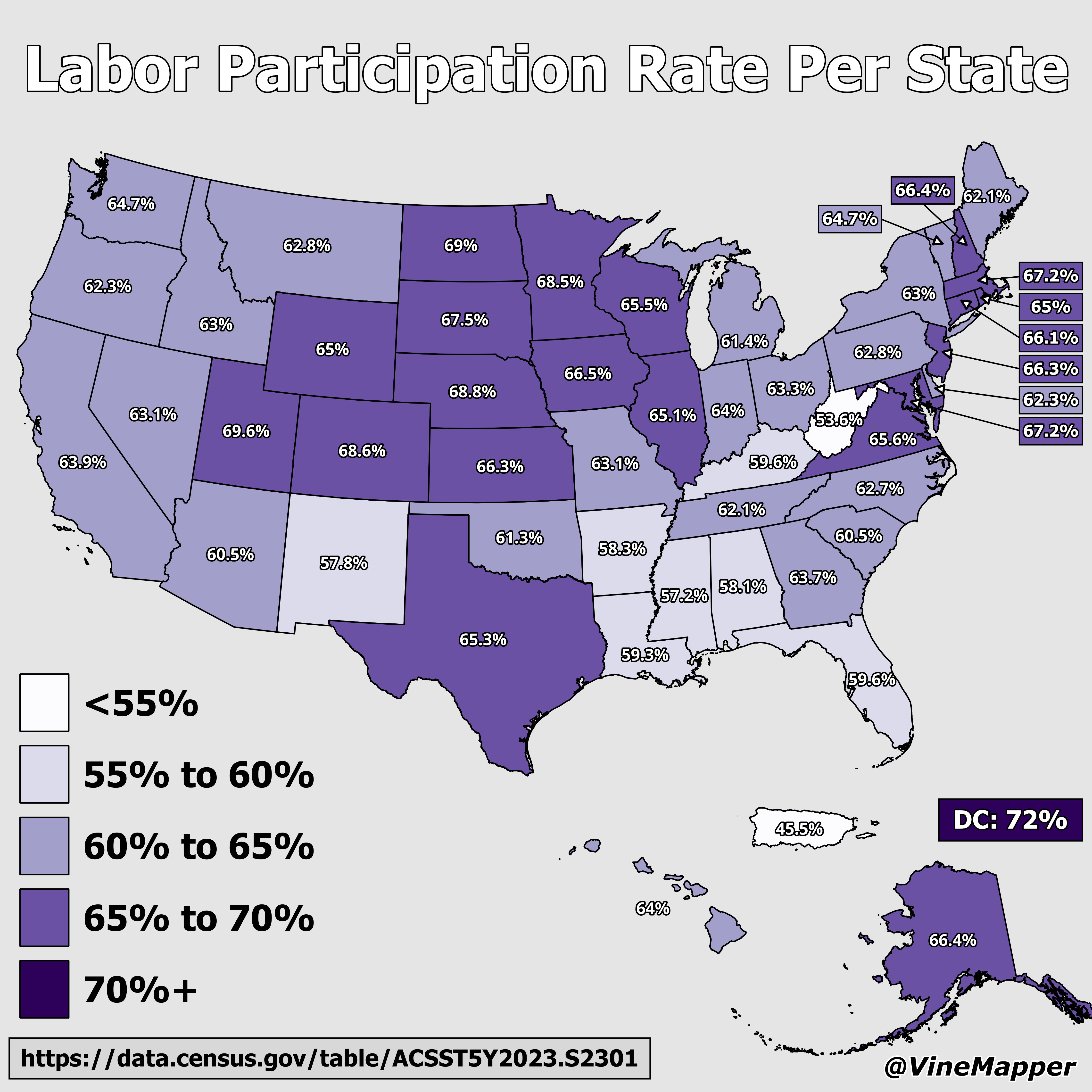
r/Maps • u/geoglify • 20h ago
This fork of maplibre-gl-terradraw is getting better and better. Originally created by James Milner and later expanded by Jin Igarashi.
Besides the usual drawing of common geometric shapes, it has a freehand polygon mode and now allows line drawing. It also includes a built-in MeasureControl, which lets you measure distances, areas, and elevation, with customizable units and precision.
The getting started guide is excellent: it shows how to install the package simply and lets you configure all drawing modes from the beginning. All of this is completely open source and free. Link in the comments.
r/Maps • u/More-Factor-6901 • 1d ago
r/Maps • u/LopsidedBody9775 • 13h ago
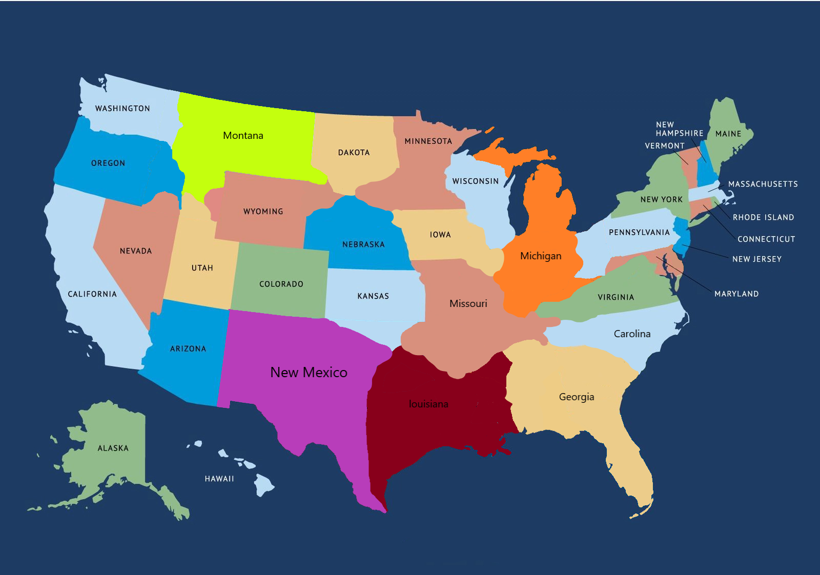
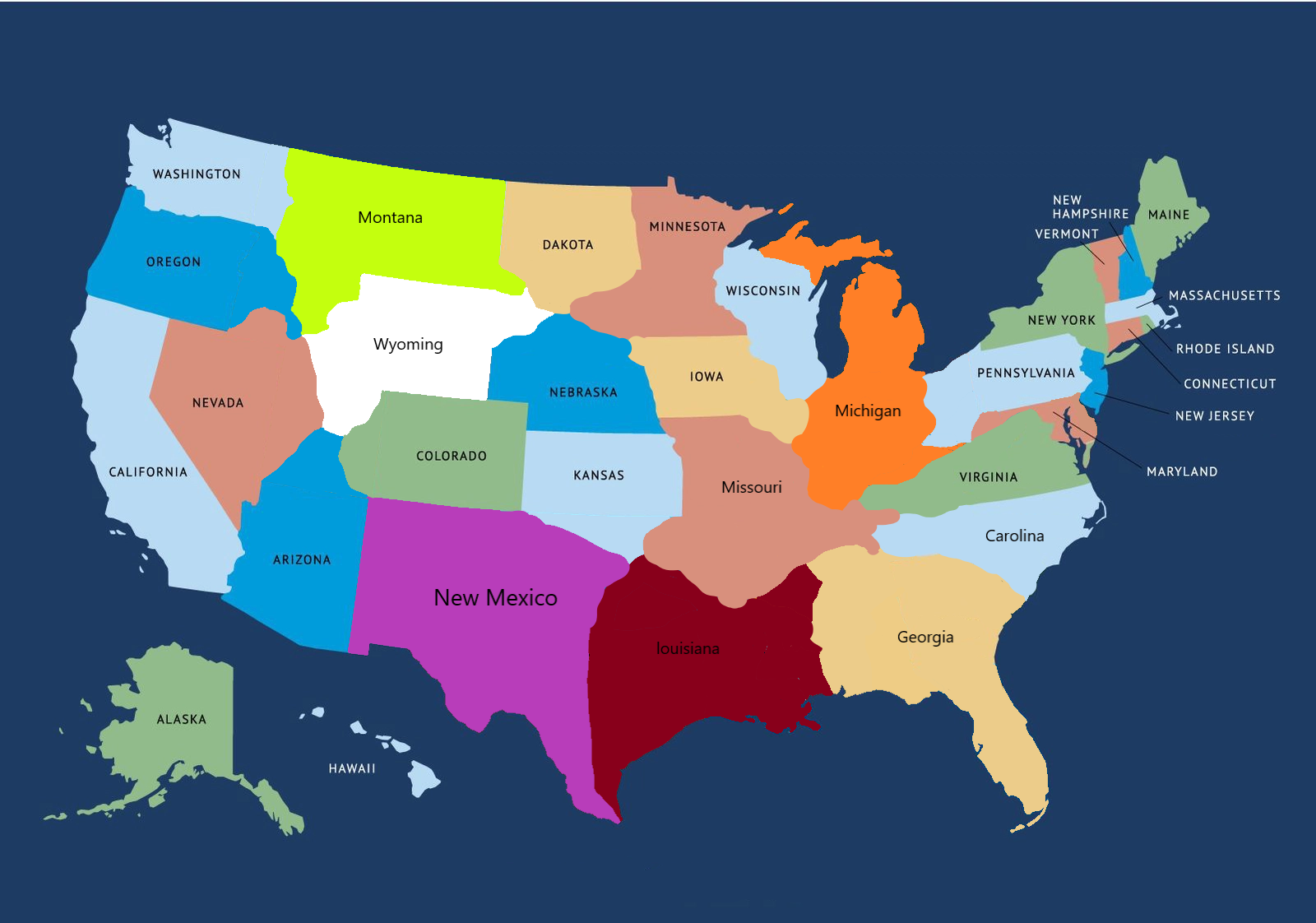
Give me any suggestion for the state names.
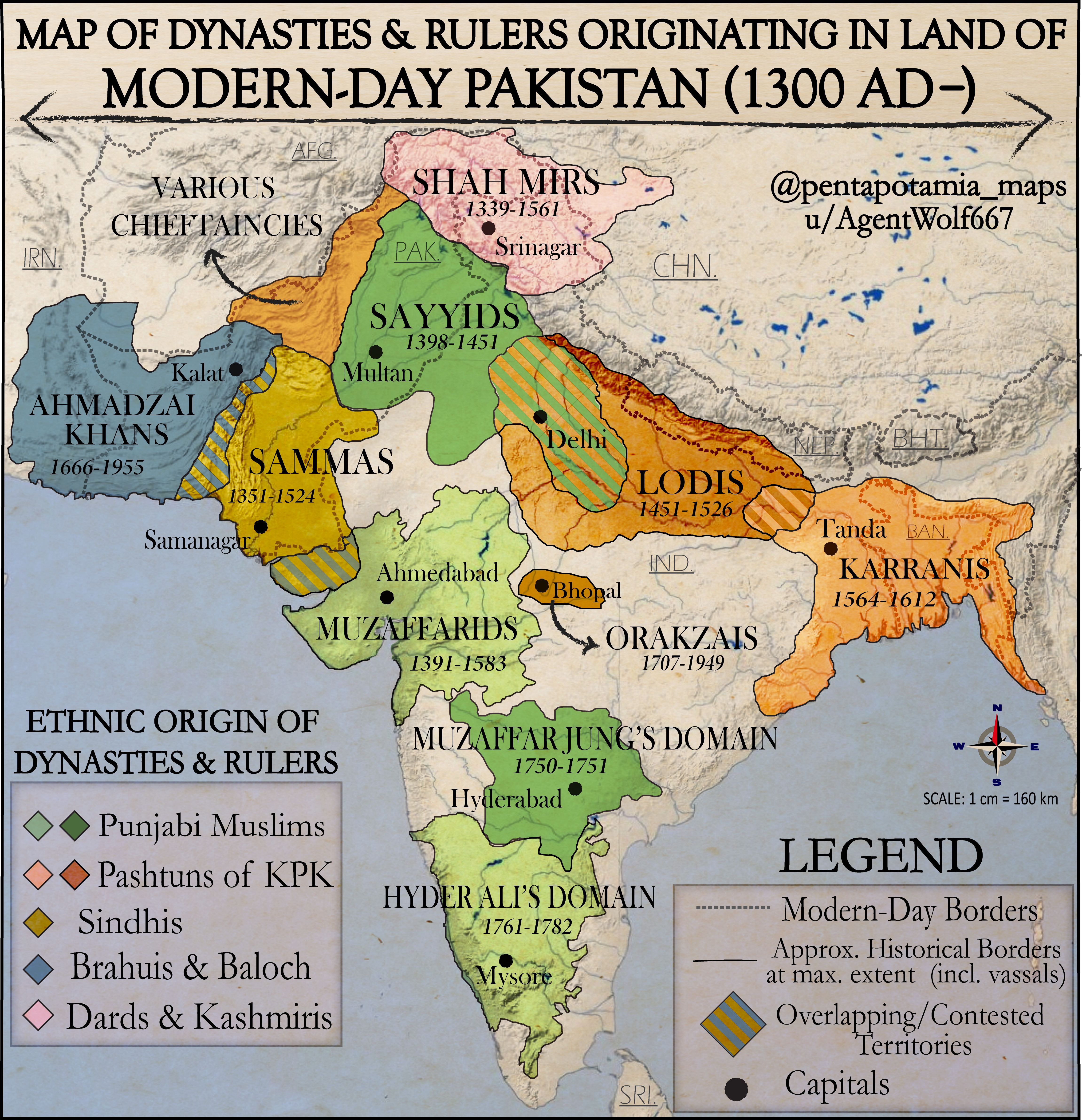
r/Maps • u/AgentWolf667 • 23h ago
r/Maps • u/LopsidedBody9775 • 18h ago
Here's the link to the files
https://docs.google.com/document/d/127bGCjQw1_AuqN0qlbQrWQGAtEyR5Sqap5WYa0_16hg/edit?tab=t.0
r/Maps • u/More-Factor-6901 • 20h ago
r/Maps • u/yesno112 • 22h ago
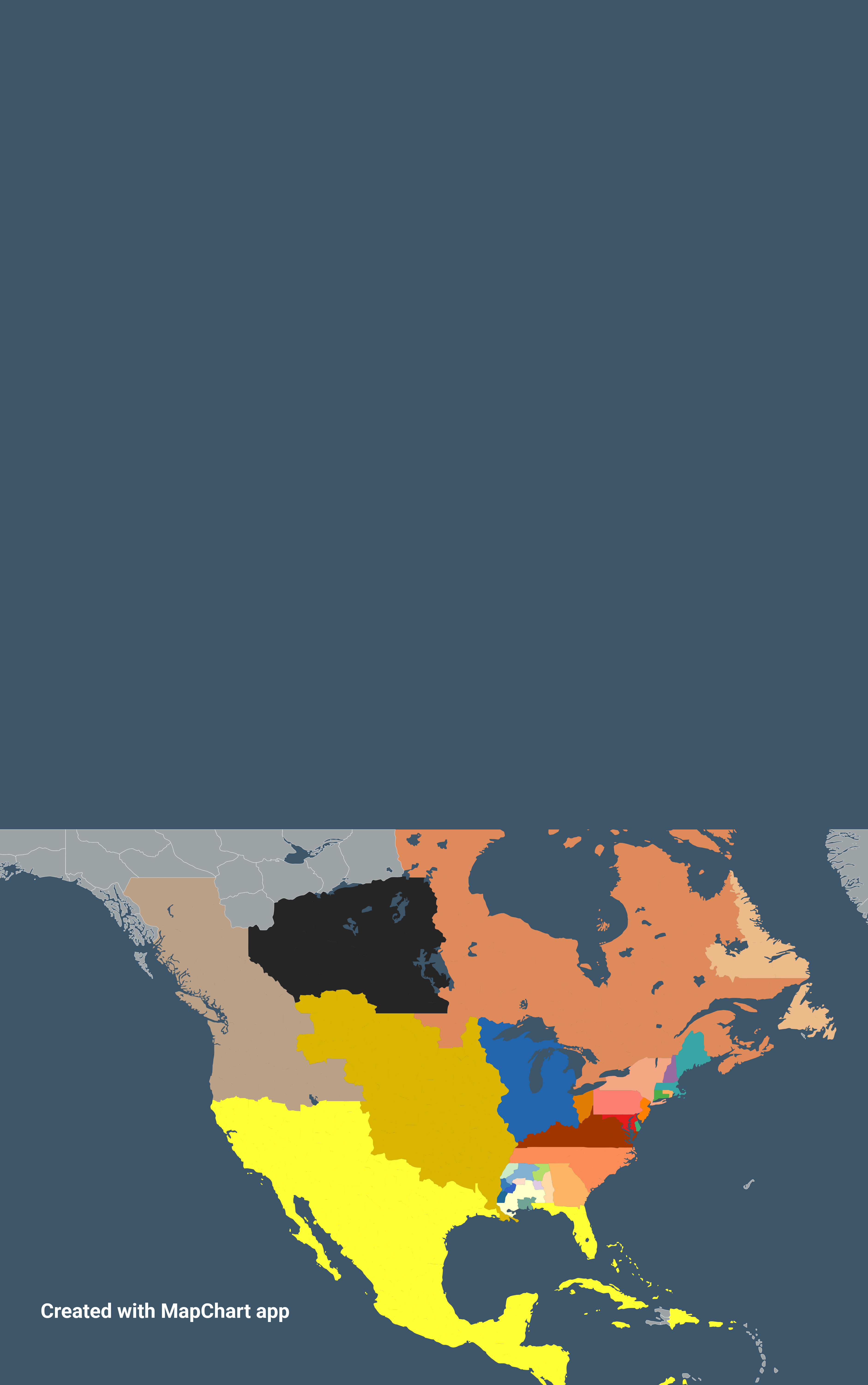
The nation is so far divided that we have sub-set regional cultures that will likely never agree on issues (by design). What would the US look like if we split the whole into territories that govern themselves?
r/Maps • u/MajesticFunction5545 • 1d ago
Hi folks,
Ben here - history educator and lover of all things geography.
Here’s an Instagram page I just started - meant to be educational, but overall just a fun place to see some maps, flags, learn some history, etc.
Take a look if you’d like. Cheers!
r/Maps • u/Any_Philosophy_9832 • 1d ago
I travel for work and want to create a list/map that all of the other employees of my company can add their favorite points of interest. I tried this with google maps, but it isn't mobile friendly and is pretty clunky.
I travel for work and want to create a map that highlights all of the sections of major roads that I have traveled. What would be the easiest way to do that?
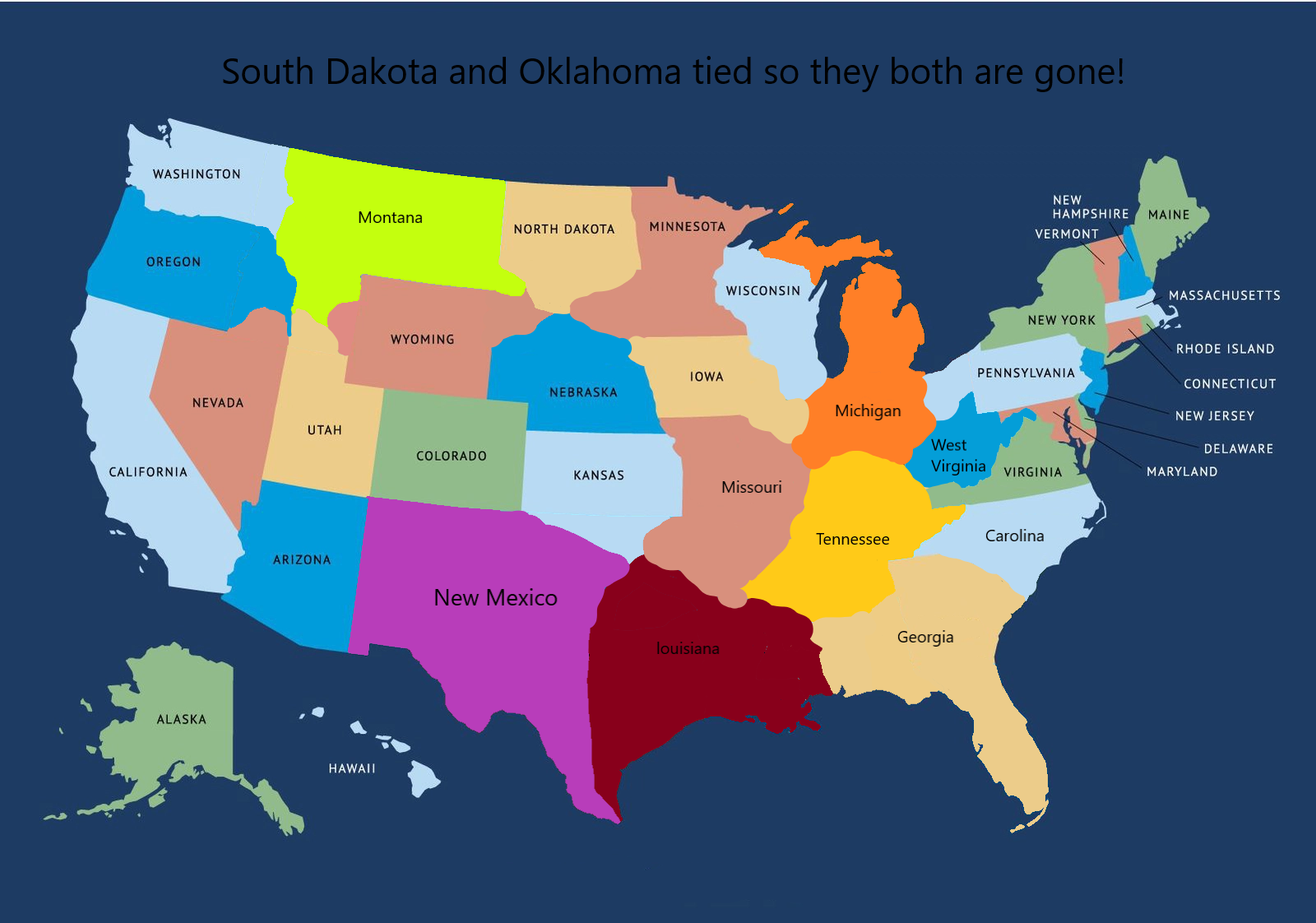
r/Maps • u/More-Factor-6901 • 1d ago
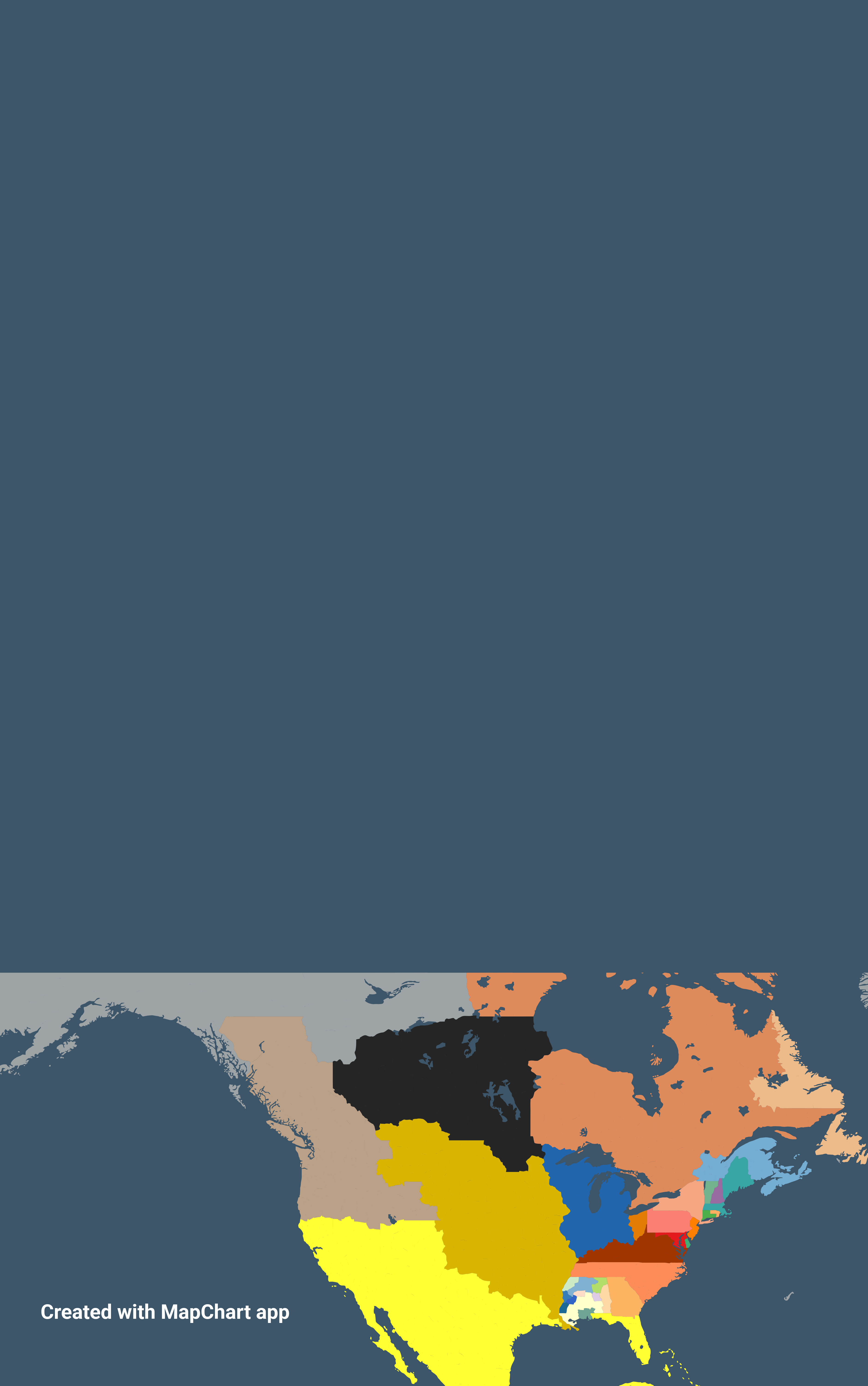
South Dakota and Oklahoma tied so they are both gone!
r/Maps • u/LopsidedBody9775 • 1d ago
Here's the link to the files just in case if you use math chart do you want to use my maps https://docs.google.com/document/d/1jtEFOYsSsNM5k5lklvQPTNqs3K2eF6xRKeUea_-ntio/