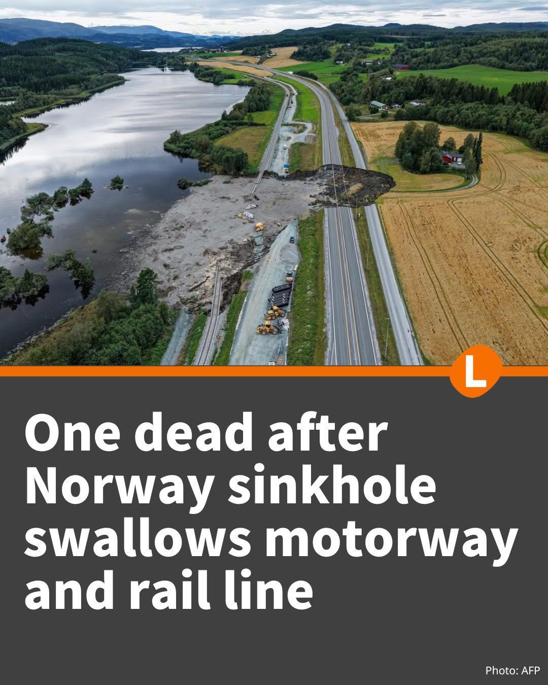
I live 30 minutes north of this, used to be a truck driver passing this place multible times a day, glad I'm not in that job right now, as there is not any good alternative routes made for trucks...
Gamle kongens vei yeah. There are houses nd farms along the road, although i remember the road passing under the train tracks. That's probably what they refer to when they say local roads work for cars but not trucks
Please don't use Google, they haven't updated numbers on roads in 5+ years at this point.
There was a big reform that started after 2010 and another that came into effect in 2020 which saw all county roads getting unique numbers across the country.
What you see as fv111 is now fv6854.
The old number was unique only to the old Nord-Trøndelag county until they merged the two in 2018.
Openstreetmap is more up to date in many cases as it uses official road data and is a community driven map database.
87
u/matpol98 5d ago
I live 30 minutes north of this, used to be a truck driver passing this place multible times a day, glad I'm not in that job right now, as there is not any good alternative routes made for trucks...