Please use this thread for all general questions and discussion related to the ongoing series of volcanic eruptions in Iceland. To avoid redundancy and confusion, other volcano-related threads may be removed and directed here. You can view the previous megathread here.
“Is there an eruption currently happening in Iceland?”
NO.
The twelfth eruption of the recent series on the Reykjanes peninsula began on Wednesday, July 16th, and was declared over on Tuesday, August 5th. Detailed information can be found on the Icelandic Met Office website.
Uplift has resumed, according to satellite and GNSS measurements, by approximately 2–3 centimeters. This confirms that magma is still accumulating beneath Svartsengi, and if uplift continues, it could lead to new magma intrusions and future eruptions.
The Blue Lagoon is open following a temporary closure during the beginning of the eruption. For the latest updates, check their website.
"How can I visit the eruption site?"
From Visit Reykjanes:
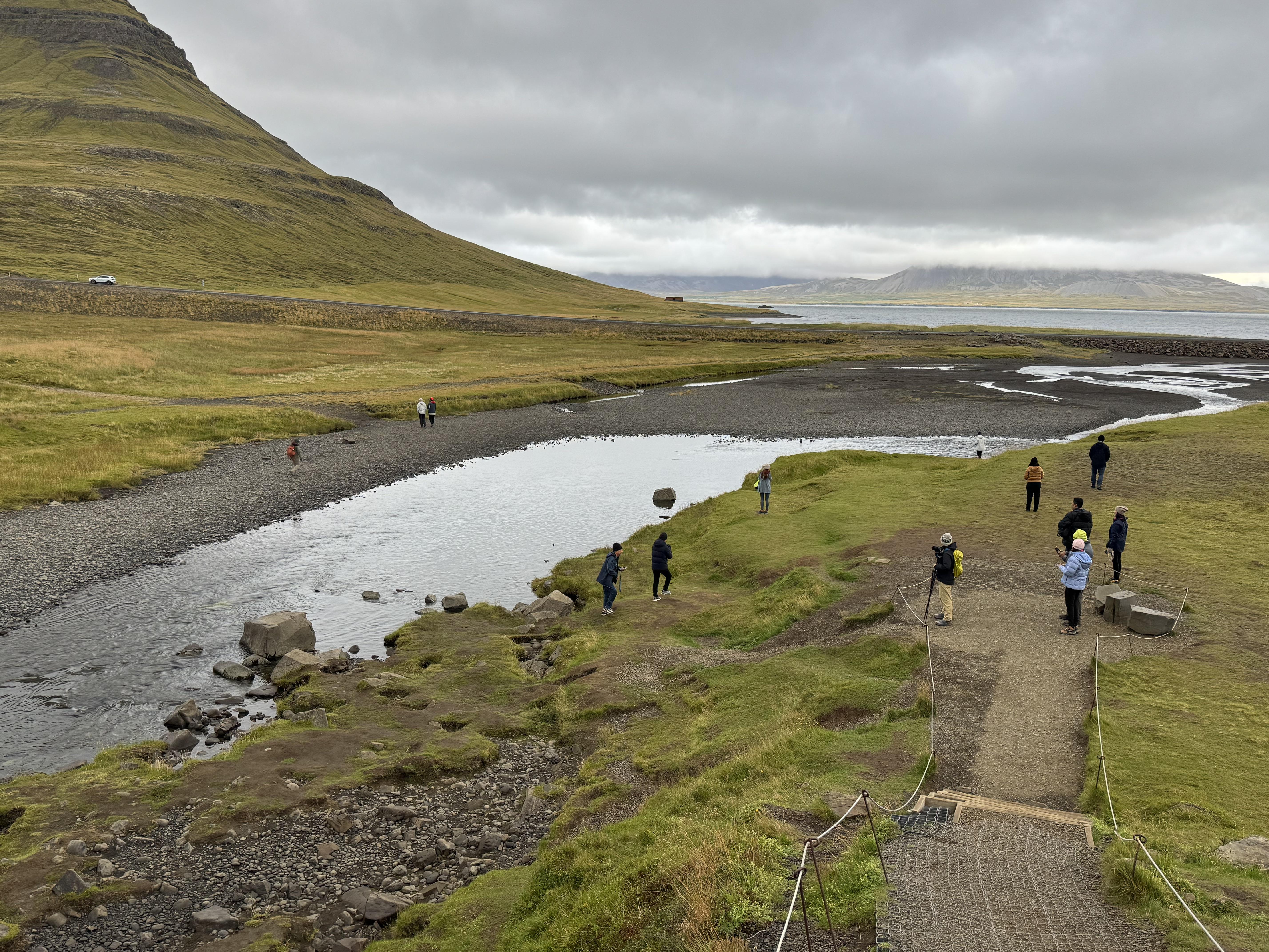
If you're planning to visit the Reykjanes Peninsula and want to experience the dramatic beauty of Iceland's volcanic landscapes, a hike to the Sundhnúksgígar eruption site has become a popular activity. Whether the eruption is still ongoing or you're exploring the aftermath, the area offers a truly unique and unforgettable experience. Here's everything you need to know before you go.
Note that this is subject to change with short notice, if the eruption behaviour changes or an eruption starts in a new location. The blog will be updated.
🚶 The Best Hiking Route: Path B
The main hiking route to the Sundhnúksgígar area is Path B, located by Mt. Fagradalsfjall. This trail leads to two excellent viewpoints with views over the lava field and craters from the recent eruptions (2023–2025).
- Distance: 4.7 km (one way) to viewpoint B1, 6.1 km (one way) to viewpoint B2
- Duration: 1.5–2 hours each way, depending on your pace and the weather
- Trail conditions: The path is a reconstructed off-road trail used by the Volcano Shuttle and emergency services. It is relatively even with minor elevation changes, but hikers should be prepared for gravel and uneven terrain.
You do not need to walk to the end of the trail to enjoy views—many visitors can see the eruption site or the new lava field after walking about half the way.
📍 How to Get There and Where to Park
The starting point for Path B is the P1 parking lot by Fagradalsfjall. If P1 is full, alternative parking is available on the other side of the road, just a few minutes’ drive away.
- A rental car gives you flexibility to time your visit around favourable weather and gas conditions.
- For those without a car, guided tours and a Volcano Shuttle are available. See options here.
☁️ Weather and Gas Safety
Hiking to the eruption site means that you are hiking into a mountain or highland type area. Before setting out, always check:
- Gas forecast: Icelandic Met Office – Volcanic Gases
- Air quality: Air Quality Monitoring
- Weather forecast: Faxaflói Region
- Important:
- If the wind is blowing from the north, gases from the eruption may affect the trail. Avoid hiking in these conditions, especially with children.
- If the wind is strong and heavy rain is forecasted, the conditions on the tail or at the eruption site are not favourable. Schedule your visit in more favourable conditions.
👣 Safety on the Trail
- Never walk on lava – even if it looks solid, it may still be dangerously hot beneath the surface. The crust is also sharp and can cause injury.
- Stay on marked trails at all times.
- Dress for Icelandic conditions: Good hiking shoes, warm and waterproof layers, gloves, hat, and enough food and water for a 3–4 hour trip.
👨👩👧👦 Visiting with Children
Path B is relatively accessible and has been used by families with children. However:
- Hike only part of the trail if needed—you will still enjoy great views without going all the way.
If conditions are not ideal for hiking, or if you're travelling with younger children, a great alternative is the lava field viewpoint by road no. 43, near the Blue Lagoon. There, you can safely see and even touch some of the new lava.
🍽️ Make a Day of It: Stop in Grindavík
If you're driving yourself, we encourage you to make a stop in Grindavík—a town deeply impacted by recent volcanic activity. Local restaurants and shops welcome visitors, and your presence supports the community as it rebuilds.
Final tip: Nature is unpredictable. Check for updates before your visit on VisitReykjanes.is.
"How long will the eruption last?"
The short answer is no one knows. The recent eruptions on the Reykjanes peninsula have lasted as short as a few hours and as long as several months. Only time will tell how long any particular eruption will be active.
"Should I cancel or change my trip plans?"
The short answer is No.
The eruptions that occur on the Reykjanes peninsula are fissure eruptions, whereby lava gushes out from cracks in the ground, with minimal ash produced. This is not the kind of eruption that generates huge explosions, rains ash over a wide area, interferes with air traffic, or presents a significant threat to human health. The biggest risk with these eruptions is that the lava reaches the power plant or other critical infrastructure, which would be most consequential for the residents of the Reykjanes peninsula. Volcanic eruptions are inherently unpredictable events but the impact on tourists is expected to be minimal and, beyond the Reykjanes peninsula, life in Iceland is business as usual. Aside from possibly the Blue Lagoon, there is no reason for tourists visiting Iceland to cancel or change their travel plans.
Webcams
If any of these links go down or you know of a good cam that isn’t listed here, please let me know in the comments and I’ll update the list.
Local News Sources
In Icelandic (Google Translate usually does a fair job):
In English (typically updated less frequently than the Icelandic sites):
The Icelandic Met Office website is available in Icelandic and English. Their blog is regularly updated with the latest information, directly from some of the most respected scientists in the country.
Archived Previous Megathreads
Donate to ICE-SAR
ICE-SAR is an all-volunteer force of search and rescue personnel, keeping both locals and tourists safe during times like this. To support their work, donate here. When choosing which chapter to donate to, the "home team" for Grindavik is Björgunarsveitin Þorbjörn. Björgunarsveitin Suðurnes, based in Keflavik, has also been helping a lot with the current situation.
